


This page contains all the GPS tracks for our Mazatlan 2007 trip. Files contain track logs and a few selected waypoints. These files are posted in Google Earth (.kml/.kmz) format. To view them, download and install the free Google Earth program available at http://earth.google.com/
Note: spikes radiating from home are usually due to inaccuracies when first turning on the GPS. Straight lines through buildings or water are usually due to loss of satellite signal.
Waypoints for Day 1 and Day 2.
Track from Day 1 (Saskatoon to Calgary)
Track from Day 2 (Calgary to Mazatlan… most of the flight is missing data)
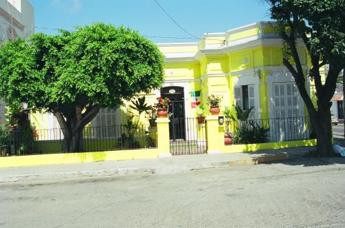
Track from Day 3 (Plaza Machado, Mercado. Still having trouble with the GPS losing signal for periods of time, hence some of the straight lines.)
Track from Day 4 (Acuario, Cliff Diver, Freeman, La Siesta)
Track from Day 5 (Stone Island including walk through village and horseback ride)
Track from Day 6 (Seashell City/Golden Zone)
Track from Day 7 (Lighthouse hill, Posada La Mision)
Track from Day 8 (Wandering through downtown)
Track from Day 9 (to Mazatlan airport, flight to Calgary, drive to Saskatoon. Had good GPS signal almost all the way.)
Recent Comments